Hatiya Island

An island of chars at the mouth of the Meghna — young in geological terms, constantly remade by the river, and home to more than half a million people.

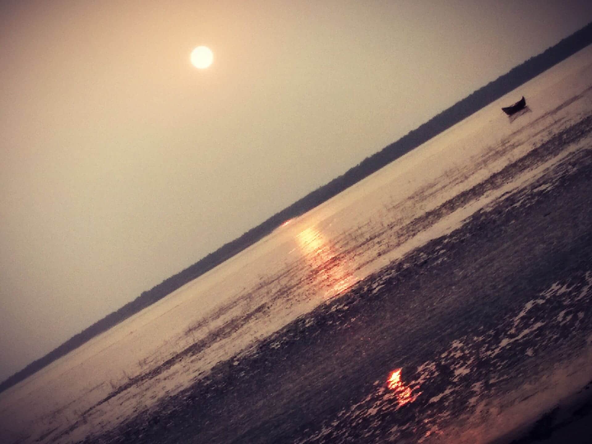
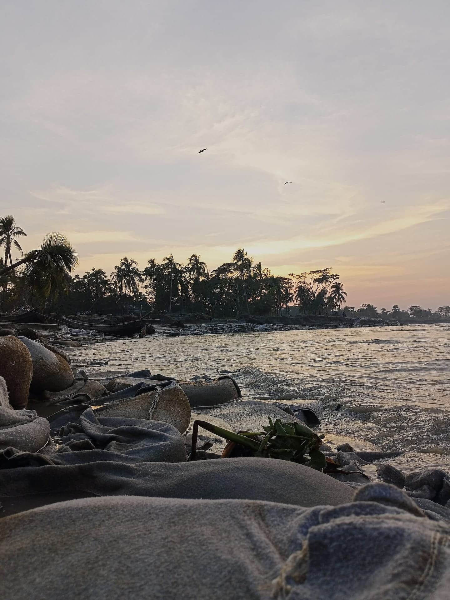
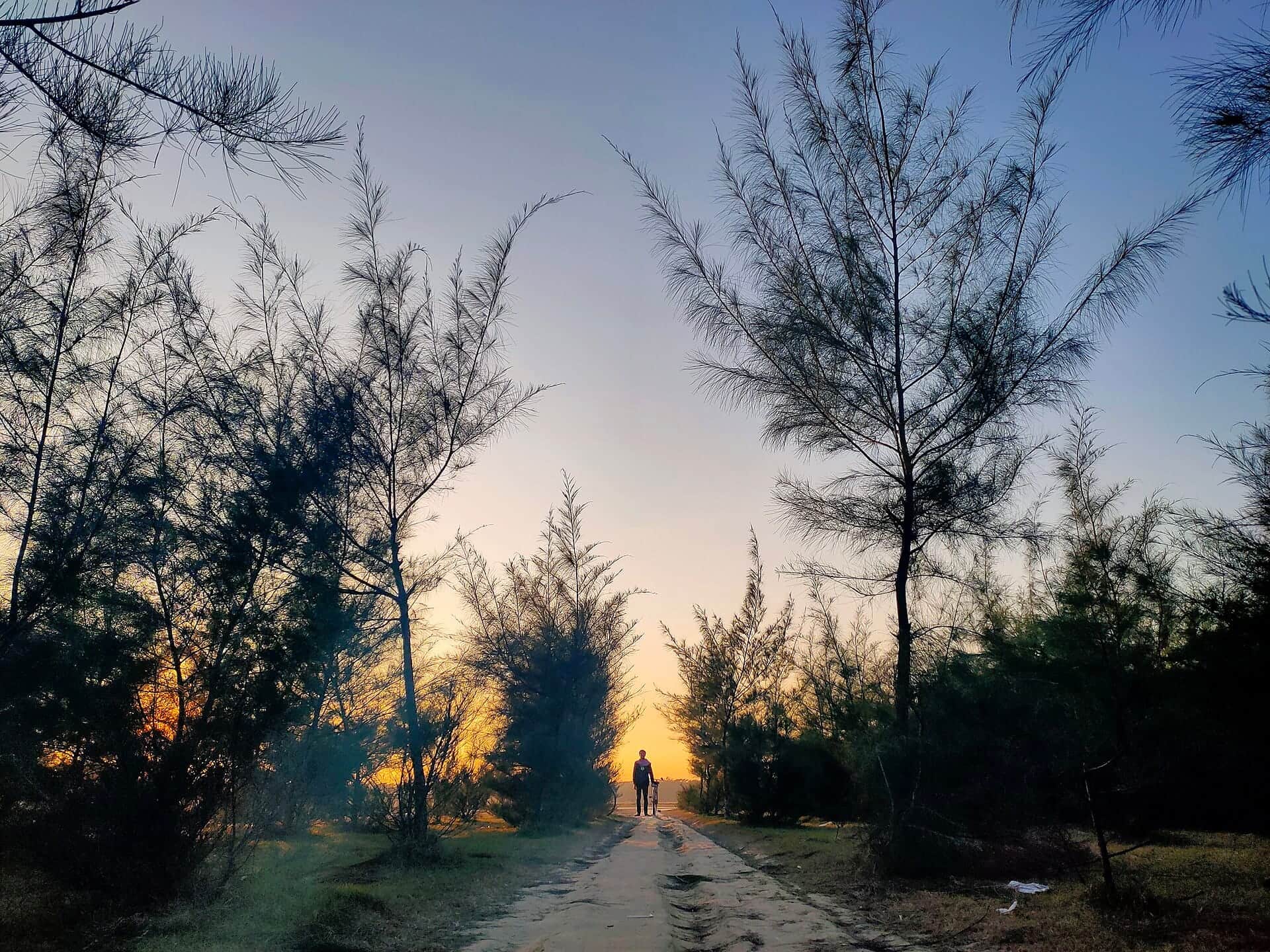
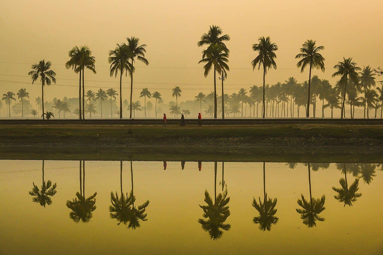
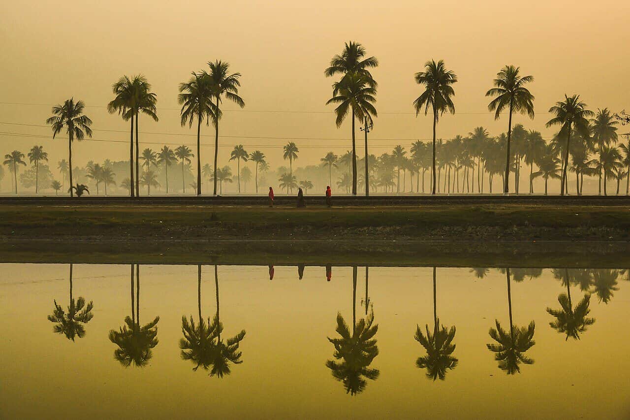
The riverbank of Hatiya Island at dusk

Photo: Aftab Hossain · CC BY-SA 4.0

Where it is

Hatiya Upazila lies in Noakhali District, Chittagong Division, at roughly 22°22′N 91°07′E. It is an archipelago rather than a single island: Hatiya Island itself, Nijhum Dwip, Dammar Char, Bhasan Char and Swarna Dweep among others. The upazila covers about 1,507 km², of which Hatiya Island is around 480 km².

It sits exactly where the Meghna — carrying the combined flow of the Ganges and the Brahmaputra — widens into the northern Bay of Bengal. Subarnachar and Ramgati lie to the north, Manpura to the west, and open sea to the east and south.

People and livelihood

The 2022 census recorded 537,366 people in 112,032 households, at a density of about 356 people per km². Just over a fifth live in urban areas. Literacy among those aged seven and above stands at 64.4%, almost identical for men and women.

Agriculture and fishing carry the island's economy. Rice, coconut, betel nut and banana come off the land; hilsa comes off the water. Fifty-two markets and bazaars serve the upazila, and Hatiya Dwip Government College is its main institution for higher education.

A river that keeps redrawing the map

Hatiya is a landform in motion. Research cited for the island suggests roughly one mile of new land forms every 138 to 140 years, putting its age at five to six thousand years. Erosion along the northern shore sharpened from about 1890 onward, while new char land accreted to the north at two to five times the rate of loss.

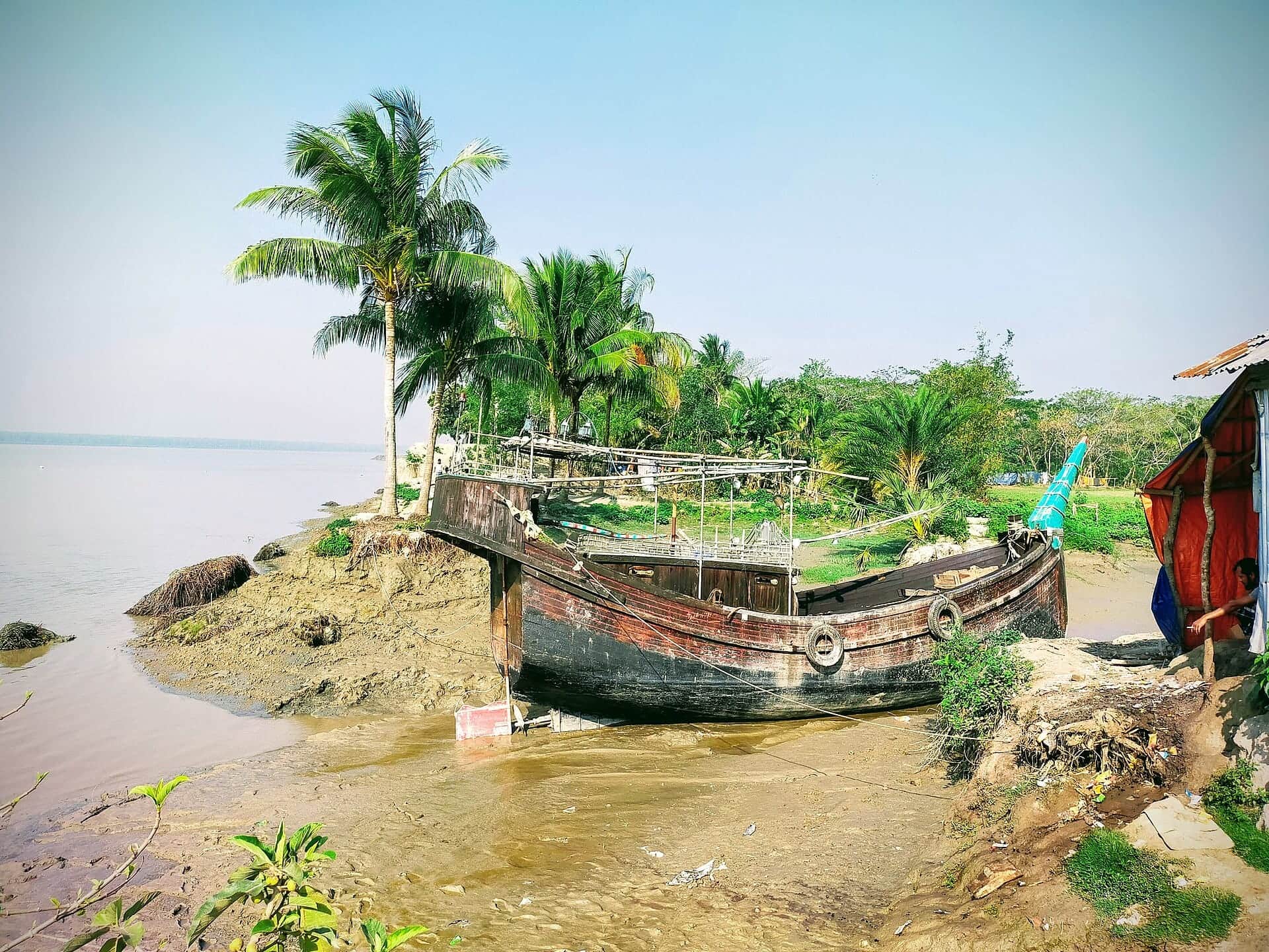
The consequence is that families move. Homesteads are rebuilt further inland, and the distance between Hatiya and neighbouring Sandwip has grown past sixty miles as the channel between them widened. The island receives about 3,332 mm of rain a year and lies directly in the path of Bay of Bengal cyclones.

This is the background to much of HCFD's work: a student whose family has lost its land twice is a student who needs a scholarship, not sympathy.

Culture

Hatiya carries medieval Islamic heritage, including a ninth-century mosque, and a river-island culture of its own. Bhatiali and jarigan are still sung here, and the rhythm of the year follows the tides, the hilsa season and the monsoon rather than the calendar of the mainland.

Tourist spots

Where to go on the island, and when.

  • Nijhum Dwip

    Nijhum Dwip

    This cluster of islands rose as alluvium in the shallow estuary of the Bay of Bengal in the early 1950s, and today covers about 163 km² in total, roughly 39 km² of it dry land. A Forest Department afforestation programme begun in 1974 turned it into dense keora woodland, and around 5,000 spotted deer (chital) now roam it. Walk the forest paths at dawn or late afternoon and you are almost certain to see a herd.

    Best time to visit: November – February (winter)
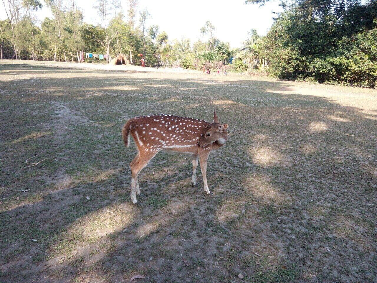
    Photo: Md Saiful Islam Khan (Aopu) · CC BY-SA 4.0

  • Nijhum Dwip National Park

    Nijhum Dwip National Park

    On 8 April 2001 the government declared roughly 40,390 acres of the island a National Park, and in 2019 the surrounding waters became the Nijhum Dwip Marine Protected Area. Keora is the dominant species — its roots bind the sandy soil and shield the island during storms. In winter the park fills with thousands of migratory birds.

    Best time to visit: December – January, peak birdwatching

    Photo: Arman333 · CC BY-SA 3.0

  • Namar Bazar Sea Beach

    Namar Bazar Sea Beach

    The best-known beach on Nijhum Dwip and the island's favourite place to watch the sun go down. A wooden walkway runs out over the sand with a shelter halfway along, where visitors sit through the last of the afternoon light. Several small resorts stand just behind the beach.

    Best time to visit: November – March, after 4 pm

    Photo: Sromei · CC BY-SA 4.0

  • Chairman Ghat

    Chairman Ghat

    The main gateway from mainland Noakhali onto Hatiya. Trawlers and sea-trucks leave from here through the morning, and the jetty stays busy with hilsa being loaded and unloaded. The line of boats pulling out into the Meghna estuary is one of Hatiya's most familiar sights.

    Best time to visit: Year-round; morning departures are easiest

    Photo: Salim Khandoker · CC BY-SA 4.0

  • Tomoruddin Beach

    Tomoruddin Beach

    On the western side of Hatiya Island near Tomoruddin ghat, this beach stays quiet, which makes it a fine spot to take in the Meghna estuary and the open sky at once. Its shape changes with the tide, so ask locally about tide timings before setting out.

    Best time to visit: October – March, at low tide

    Photo: Mijanur Rahman Sowrov · CC BY-SA 4.0

  • Dammar Char / Char Osman

    Dammar Char / Char Osman

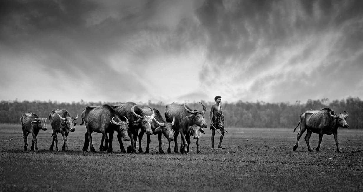
    One of the outermost chars of the Hatiya archipelago. About a third of it is mangrove forest and the rest open green grassland, where herds of buffalo and cattle belonging to Hatiya and Nijhum Dwip households graze freely. There is no permanent settlement — going there needs both a local guide and settled weather.

    Best time to visit: December – February, with a local guide

    Photo: Emonkhan · CC BY-SA 4.0

  • Mangrove Forests & Creeks

    Mangrove Forests & Creeks

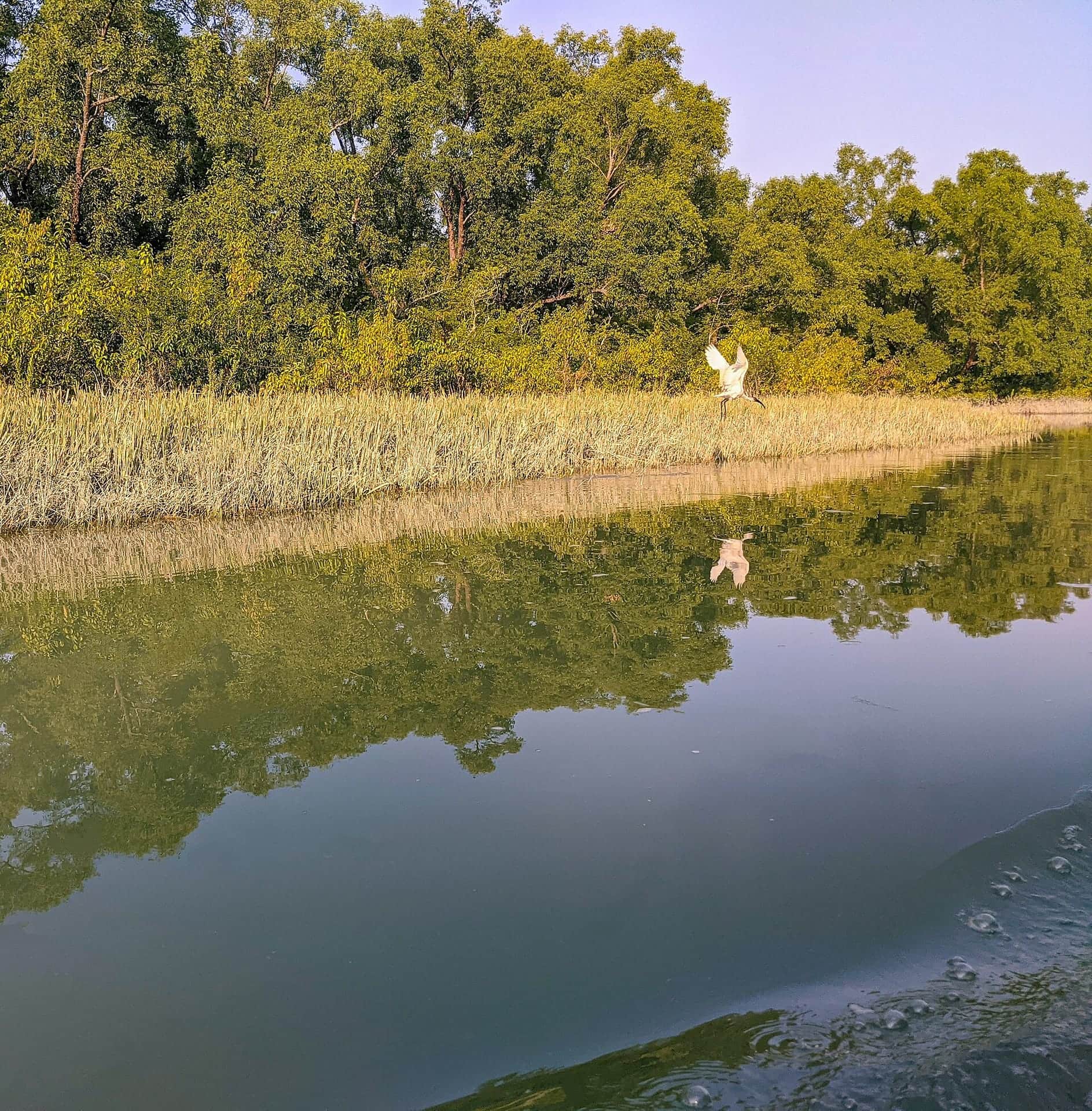
    Countless narrow creeks, the Chowdhury canal among them, thread through Nijhum Dwip between walls of keora. Take a small boat in at low tide and egrets, kingfishers and wintering migratory birds come within easy view. The same forest is the island's natural armour when cyclones arrive.

    Best time to visit: November – February, early morning

    Photo: Moshiurshimul · CC BY-SA 4.0

  • Komolar Dighi

    Komolar Dighi

    A large tank tied to Hatiya's older settlements, and a name that recurs again and again in local folklore. Coconut and betel-nut palms ring the water, and in the late afternoon its banks become the gathering place for the surrounding villages.

    Best time to visit: Year-round, best in the late afternoon

    Photo: Majed uddin · CC BY-SA 4.0

All photographs on this page are freely licensed and credited to their photographers.